From June to November, the Atlantic Ocean experiences hurricane season. During this time, tropical storms all around this area have intensities ranging from mild to extremely severe. Recently, Hurricane Helene has taken over Florida’s coast, and has officially grown into a Category 4 hurricane, according to USA today.
On September 26, meteorologist Eric Burris reported the hurricane as Category 3, and quickly updated it to a category 4 hurricane at 10 p.m. The hurricane’s eyewall, or the strongest part of the hurricane, is rapidly moving ashore, which is by far the most dangerous sign, meaning areas around Orlando are about to experience destructive winds and torrential rains.
Fox Weather stated that an “unsurvivable storm surge” is lashing Florida. The reports show wind only increasing in the coming hours. In fact, The National Hurricane Center predicts that the hurricane will create significant risk of life threatening storm surge across the entire west coast, insinuating states above and next to Florida being impacted as well.
The Weather Channel states that as of September 26, one person has already died, and more than half a million people are without power as the storm keeps progressing. Emergencies have been declared in areas that are also close to the north east, like Georgia, South Carolina, North Carolina, and even Virginia. In fact, Virginia’s governor Glenn Youngkin, just declared a state emergency.
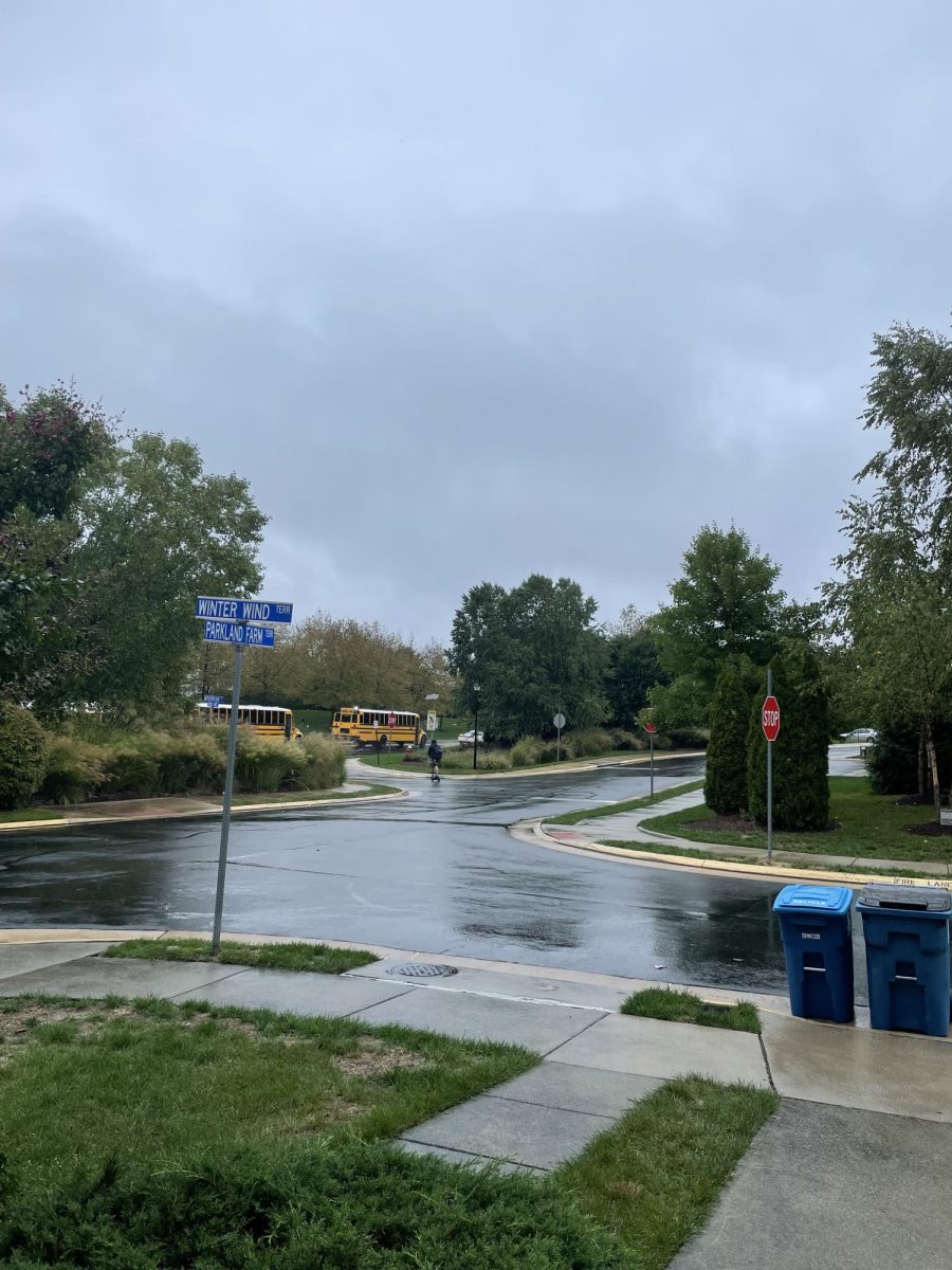
Due to the impact in Briar Woods High School’s state, families have been alerted to be ready for tropical storms and power outages. Haasini Salimadugu, a junior taking AP Environmental Science at BWHS, states that “Hurricane Helen looks like it is going to have a devastating impact on Florida’s ecosystem and environment, once again. These hurricanes might change the infrastructure as a whole.”
Officials state that this hurricane is slowly turning catastrophic as winds speed up to 140 mph. More updates will be reported on the news due to the rapid speed that this storm is growing at.


